Main menu
You are here
Our services
 Do you have geodata and need an information system?
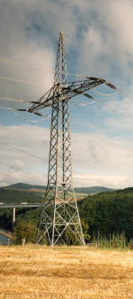
That's what GEoRG View is for!
 Your questions as a line planner?
- Can I visualise my geodata without GIS?
- Can I get quick and detailed information about my overhead line?
- Can I incorporate a variety of data sources?
- Will the application run regardless of platform and on different systems?
 What we offer you:
- Documentation, information and planning with a single tool
- Easy and intuitive operation instead of complex GIS
- Little training required
- Mobile use offline or via UMTS
- Low software costs
- All data from any data sources is available
- Access to complete documentation of the overhead lines