
Main menu
You are here
Plans and Lists
Plans
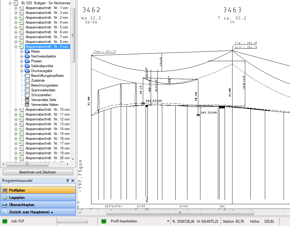
You can present and calculate profile plans swiftly, precisely and in detail thanks to the GEoRG FLP software. It's just as easy to create and edit site and overview plans.
Lists
Do you need a list of all masts in a certain section? Or an overview of all lines in a certain region? No problem! The easy-to-use search can also map more complex data and output results in list format. Several formats for export or printing directly are readily available..